


Arcgis Online Level #1: Public Agol Account
Published 1/2025
MP4 | Video: h264, 1920×1080 | Audio: AAC, 44.1 KHz
Learn: Web Maps, Symbologies, Feature Editing, Tables, Pop-Ups, and Web Applications
What you’ll learn
Master ArcGIS Online fundamentals, including account management, map viewer navigation, and working with different types of basemaps and tools.
Become proficient in creating sophisticated map visualizations through custom symbology, heat maps, clusters, and labeling for points, lines, and polygons.
Requirements
Learning projects are included, so no prior knowledge is required. Students will be able to learn everything from scratch.
Description
Overview
Section 1: AGOL: Concepts and Theory
Lecture 2 ArcGIS Online VS ArcGIS Server
Lecture 3 Public AGOL account vs Organizational AGOL account
Lecture 4 AGOL Developer Account and AGOL Enterprise
Section 2: ArcGIS Online Public Account
Lecture 5 Create a Public Account in ArcGIS Online
Lecture 6 Public ArcGIS Online Account Documentation I
Lecture 7 Public ArcGIS Online Account Documentation II
Lecture 8 Content Tab I
Lecture 9 Content Tab II
Section 3: Map Viewer Classic Essentials
Lecture 10 Getting familiar with Map Viewer Classic
Lecture 11 Studying the measure and Bookmark tools
Lecture 12 Base Maps in ArcGIS Online I
Lecture 13 Base Maps in ArcGIS Online II
Section 4: Importing geographic files into ArcGIS Online
Lecture 14 Creating a Map
Lecture 15 Uploading Shapefile (.SHP) files to the platform
Lecture 16 Uploading Comma-Separated Values (.CSV) files to the platform
Lecture 17 Uploading text (.TXT) and GPS (.GPX) files to the platform
Lecture 18 Uploading Keyhole Markup Zipped (.KMZ) files to the platform
Lecture 19 Working with WMS and Living Atlas layers
Section 5: Symbol and Label Analysis I: Polygon Entities
Lecture 20 Configuring Location (Single Symbol) in polygons
Lecture 21 Generating symbology by categories or unique elements in polygons
Lecture 22 Configuring symbology by quantity count (size) in polygons
Lecture 23 Creating symbology by quantity count (color) in polygons
Lecture 24 Configuring labels in polygonal entities
Section 6: Symbol and Label Analysis II: Linear Entities
Lecture 25 Configuring Symbols by Unique Elements and Categories in Lines
Lecture 26 Generating Symbols by Counts and Size Quantities in Lines
Lecture 27 Configuring Symbols by Unique Symbol Types
Lecture 28 Configuring Labels in Linear Entities
Section 7: Symbol and Label Analysis III: Point Features
Lecture 29 Location (Single Symbol) and Type (Unique Symbols) Symbology for Point Features
Lecture 30 Generating Custom Image Clusters
Lecture 31 Creating Heat Maps with Point Features
Lecture 32 Configuring Symbology by Dates in Point Features
Lecture 33 Configuring Symbology by Size in Point Features
Lecture 34 Configuring Labels in Point Features
Section 8: Advanced Work on Attribute Tables and Pop-Ups I
Lecture 35 Introduction to ArcGIS Arcade
Lecture 36 Options in Attribute Tables
Lecture 37 General Options in Pop-Ups
Section 9: Advanced Work on Attribute Tables and Pop-Ups II
Lecture 38 Custom Attribute Display in Pop-Ups
Lecture 39 Field Description and No Attribute Information in Pop-Ups
Lecture 40 Dynamic Images and Links in Pop-Ups
Section 10: Turning My Webmap into an Instant App
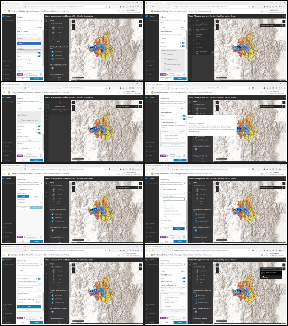
Lecture 42 Instant App I
Lecture 43 Instant App II
Lecture 44 Instant App III
Lecture 45 Instant App IV
RapidGator
https://filecrypt.cc/Container/0992E0C3BD.html
https://www.keeplinks.org/p27/679a23a3c9737
AlfaFile
https://filecrypt.cc/Container/9B79B33E86.html
https://www.keeplinks.org/p27/679a23bb19581
TurboBit
https://filecrypt.cc/Container/4323213AC2.html
https://www.keeplinks.org/p27/679a24814b8d2