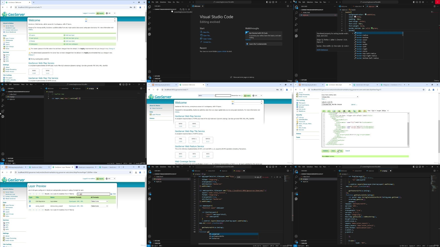

Geoserver : Master Spatial Data & Open Source Gis Tools
Published 10/2024
MP4 | Video: h264, 1920×1080 | Audio: AAC, 44.1 KHz
Learn to Manage, Style, and Visualize Spatial Data Using GeoServer & Open Source GIS Tools
What you’ll learn
Learn what GeoServer is, what it does, and why you need it
Install a local version of GeoServer on your computer
Explore the different data formats supported by GeoServer
Load your own data into GeoServer and publish it
Learn how to style vector and raster data
Integrate GeoServer with other GIS tools, such as QGIS and Leaflet
Share geospatial data using standard protocols like WMS, WFS, and WCS
Create custom web mapping applications using GeoServer data
Requirements
Description
Overview
Section 1: Course Introduction
Lecture 1 Introduction
Section 2: GeoServer Introduction
Lecture 3 GeoServer Installation and Configuration
Lecture 4 Detailed overview of Web Interface
Section 3: Data Management
Lecture 5 Shapefiles-What they are and how to upload
Lecture 6 Understanding Layer concept and configuration
Lecture 7 Understanding GeoPackage and how to upload
Lecture 8 PostgreSQL and PostGIS-Connecting and uploading data
Lecture 9 Concept and creation of LayerGroup
Lecture 10 Raster Data
Lecture 11 Understanding ArcGrid and how to upload
Lecture 12 Understanding GeoTiff and how to upload
Lecture 13 Other Rater Stores
Section 4: Styling
Lecture 14 Understanding Style and how to style Line data
Lecture 15 Styling Polygon data
Lecture 16 Styling Point data
Lecture 17 Raster SLD
Section 5: GeoServer Services
Lecture 18 WMS (Web Map Service)
Lecture 19 WFS (Web Feature Service)
Lecture 20 WCS (Web Coverage Service)
Section 6: GeoServer Integration with other GIS Software
Lecture 21 Understanding QGIS and connect to GeoServer
Lecture 22 How to connect GeoServer data to Leaflet
Section 7: Plugins and Extension
Lecture 23 Plugins and Extension
Section 8: Course Recap
Lecture 24 Recap
Section 9: Assessment
Lecture 25 Assessment
Anyone interested in Web GIS and wants to learn GeoServer,GIS professionals, GIS web developers, data analysts , students who want to enhance their ability to integrate and access spatial data across different systems and applications