

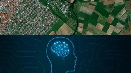
Geospatial Ai: Deep Learning For Satellite Imagery
Published 9/2025
MP4 | Video: h264, 1920×1080 | Audio: AAC, 44.1 KHz
Build AI Models for Geospatial Data and Satellite Imagery
What you’ll learn
Build and train CNNs for geospatial tasks like crop health classification.
Apply deep learning to analyze satellite data for real-world applications.
Evaluate and optimize AI models with metrics and hyperparameter tuning.
Requirements
No prior experience needed! Basic Python knowledge is helpful but not required. You’ll need a computer, internet access, and a free Google account for Google Colab. All tools and datasets are provided in the course!
Description
Overview
Section 1: Introduction to Geospatial AI and Satellite Imagery
Lecture 1 Welcome and Course Overview
Lecture 2 Introduction to Geospatial Analysis
Lecture 4 Why Python is the Top Choice for AI?
Lecture 5 Overview of Deep Learning in Geospatial Applications
Section 2: Setting Up Your Deep Learning Environment
Lecture 6 Step-by-Step Guide to GPU Setup
Section 3: Cloud-Based AI with Google Colab
Lecture 7 Introduction to Goggle Colab
Lecture 8 Setting Up Google Colab for AI Projects
Lecture 9 Running TensorFlow Models in the Cloud
Lecture 10 Running PyTorch Models in the Cloud
Lecture 11 Saving and Sharing Colab Notebooks
Section 4: Preprocessing Satellite Imagery for Deep Learning
Lecture 12 Calculating Geospatial Indices
Lecture 13 Import and Clean Datasets in Jupyter Notebook with Pandas
Lecture 14 Conducting Zonal Statistics in Python
Lecture 15 Preprocessing Real Sentinel-2 Imagery for Deep Learning
Lecture 17 Working with Large-Scale Geospatial Data
Section 5: Building Convolutional Neural Networks (CNNs) for Geospatial Tasks
Lecture 18 Introduction to CNNs for Satellite Imagery Analysis
Lecture 19 Designing a CNN Model for Crop Health Classification
Lecture 20 Visualizing AI Model Performance
Lecture 21 Evaluating models: Accuracy, precision, recall, and cross-validation.
Lecture 22 Hyperparameter Tuning with Grid Search and Random Search in Python
Section 6: Advanced Geospatial AI Applications
Lecture 23 Building a Convolutional Neural Network for Image Classification
Lecture 24 Building an AI Model for Crop Health Analysis
Lecture 25 Plant Counting with Computer Vision Techniques
Lecture 26 Applying Deep Learning for Global Weather Emulation with FourCastNet
Lecture 27 Validating Biomass Predictions with Ground Truth
Section 7: Course Wrap-Up and Resources
Lecture 28 Course Summary and Key Takeaways
Lecture 29 Next Steps and Additional Resources
Beginner Data Scientists: New to AI and geospatial analysis, eager to learn deep learning for satellite imagery.,GIS Professionals: Looking to integrate AI into geospatial workflows for tasks like land cover or crop analysis.,Environmental Researchers: Interested in applying CNNs to satellite data for climate or agricultural studies.,Students and Hobbyists: Curious about geospatial AI, with basic Python skills or a willingness to learn.

RapidGator
https://www.keeplinks.org/p27/691b2b93a9bb5
NitroFlare
https://www.keeplinks.org/p27/691b2ce59d04a
DDownload
https://www.keeplinks.org/p27/691b2d8a3c73c