Published 10/2024
MP4 | Video: h264, 1920×1080 | Audio: AAC, 44.1 KHz
What you’ll learn
Basic map creation
Data management
Common geoprocessing tasks
Advanced mapping techniques
Plugins and extensions
Spatial analysis
Web mapping
Raster operations
Requirements
No QGIS experience necessary!
Description
Overview
Section 1: Course introduction
Lecture 1 Section outline
Lecture 2 Intended audience
Lecture 3 Course outline
Lecture 4 Who am I?
Section 2: Introduction to QGIS
Lecture 5 Download QGIS
Lecture 6 Install QGIS
Lecture 7 Opening QGIS for the first time
Lecture 8 Overview of the QGIS interface
Lecture 9 Setting up a project template
Lecture 10 Navigating your data in QGIS
Section 3: Basics of QGIS
Lecture 11 Adding data layers
Lecture 12 Layer styling and symbology
Lecture 13 Customising QGIS layout
Lecture 14 Labelling features
Lecture 15 Setting projections
Section 4: Data management
Lecture 16 Managing layers
Lecture 17 Managing symbology
Lecture 18 Attribute table
Lecture 19 Data filtering
Lecture 20 Data querying
Lecture 21 Data editing
Lecture 22 Field calculations
Lecture 23 Joining layers
Section 5: Spatial analysis
Lecture 24 Measuring distances
Lecture 25 Buffering and dissolving
Lecture 26 Spatial joins
Lecture 27 Clipping and intersecting
Lecture 28 Processing toolbox
Lecture 29 Advanced selection techniques
Section 6: Layer styling and symbology
Lecture 34 Layer transparency
Lecture 35 Scale-based visibility
Lecture 36 Exporting high-quality maps
Section 7: Raster operations
Lecture 39 Basic raster actions
Lecture 40 Raster symbology
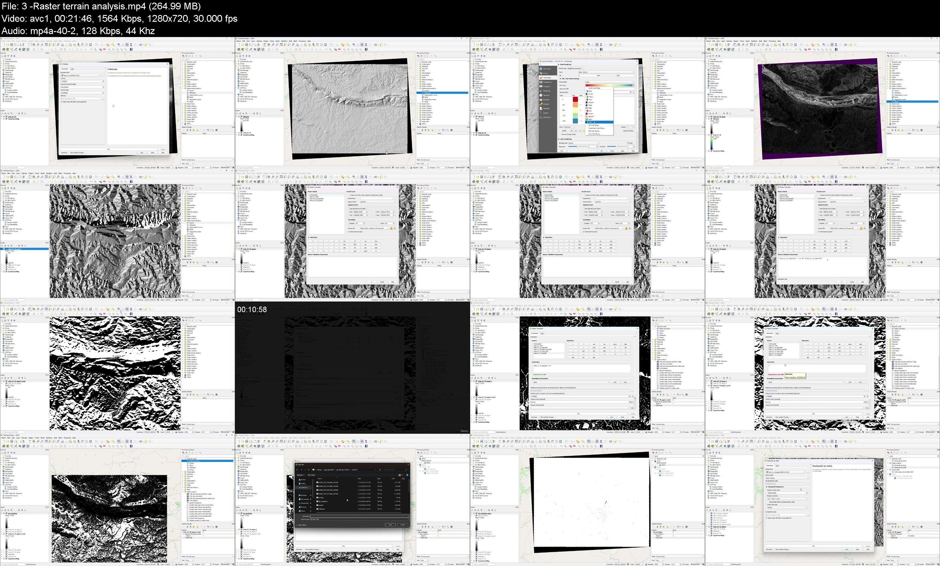
Lecture 41 Raster terrain analysis
Section 8: Making maps
Lecture 42 Map layouts and map elements
Lecture 43 Atlas creation
Section 9: Plugins and extension
Lecture 44 Plugins overview
Lecture 45 Plugins installation and management
Lecture 46 Open Topography DEM Downloader
Lecture 47 QGIS 2 ThreeJS
Lecture 48 QNEAT3
Lecture 49 Plugin speedrun
Lecture 50 Orfeo Toolbox extension
Lecture 51 Python – Layer names
Lecture 52 Python – Buffer layer
Lecture 53 Python – Create layer and features
Section 10: Advanced spatial analysis
Lecture 54 Temporal heatmap
Lecture 55 Weighted heatmap
Lecture 56 Density heatmap
Lecture 57 DBScan clustering
Lecture 58 K-Means clustering
Lecture 59 Graphical modeller
Lecture 60 Cloud Optimised Point Clouds (COPC)
Section 11: Connecting to web-based data
Lecture 61 XYZ tile layers
Lecture 62 WMS/WMTS layers
Lecture 63 Web mapping using qgis2web
Lecture 64 PostGIS database
Lecture 65 ArcGIS REST server
All geospatial professionals and anyone else thats interested.